
Welcome to the Austin Yacht Club
Enjoy the Club, and the Sailing!
Recent News
![]()
Upcoming Events at AYC and the Printed Directory, Handbook & Bylaws North U April 8 - April 12 Spring Series…
![]()
View AYC 2024 Photos. Log-in is required. This posting will be updated as photos and links become from our AYC…
![]()
The March Telltale is now available on the Telltale web page: Telltale Newsletters. You can read Board Reports, Long Range…
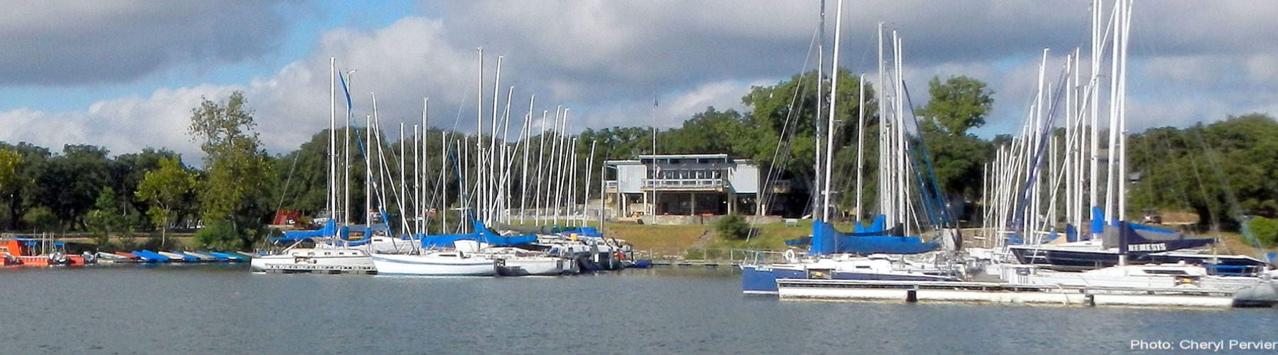
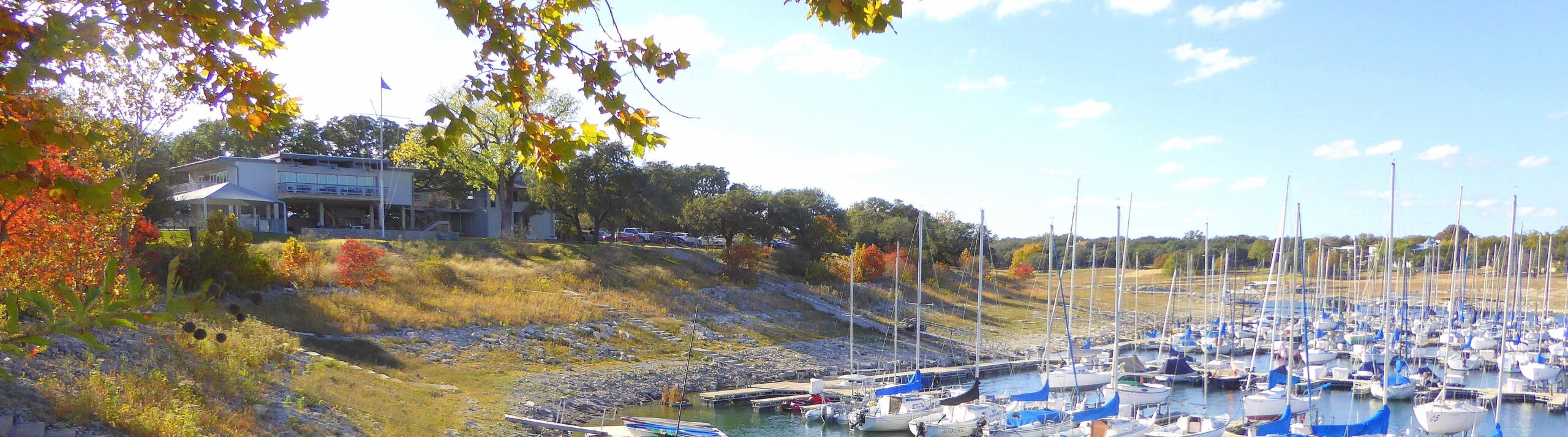
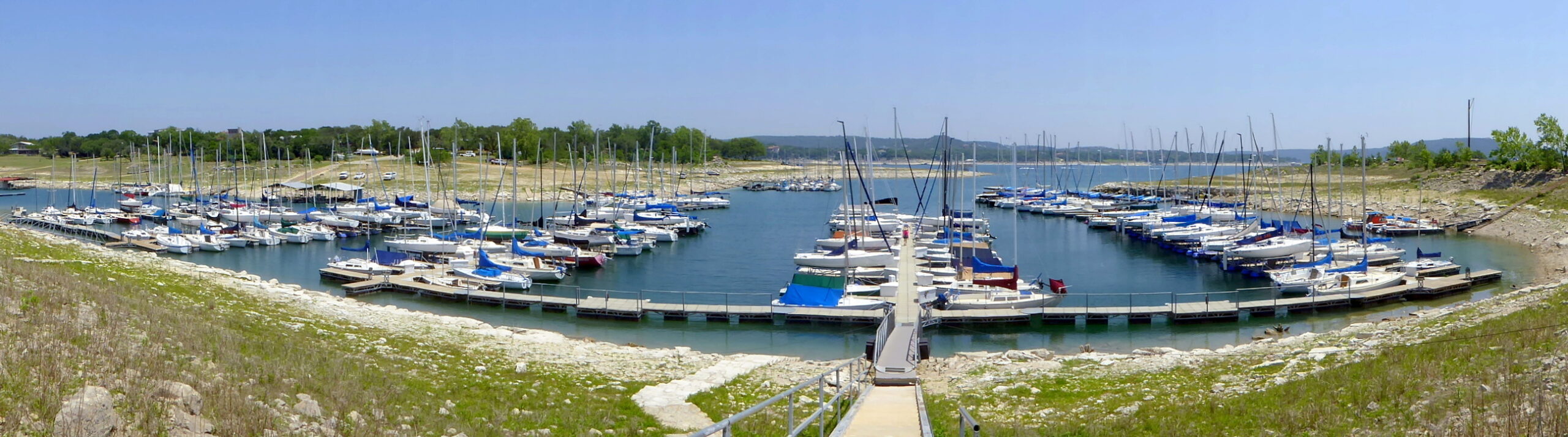
Our Club
The Austin Yacht Club (AYC) is a private sailing club located on the shores of Lake Travis in Austin, Texas. It was founded in 1951 as the Austin Sailing Club and became the Austin Yacht Club in 1969.
Mission:
The Austin Yacht Club is a premier sailing club with an emphasis on sailboat racing, sailing education, and social activities for the entire family. AYC creates a focused and relaxed atmosphere with family-oriented activities centered around volunteerism in leadership, committees, events, and activities.
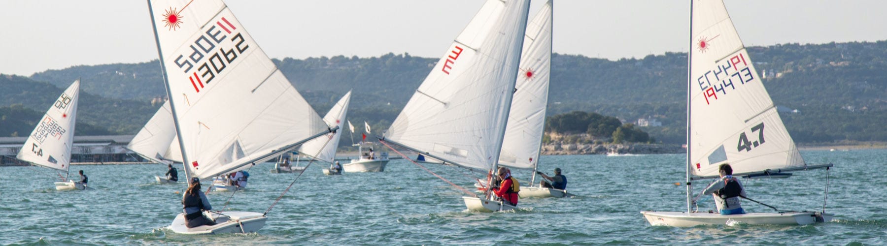
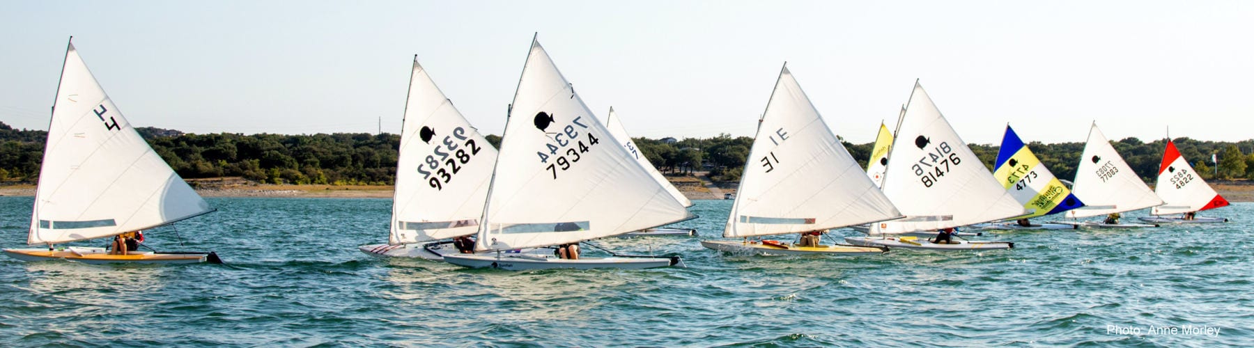
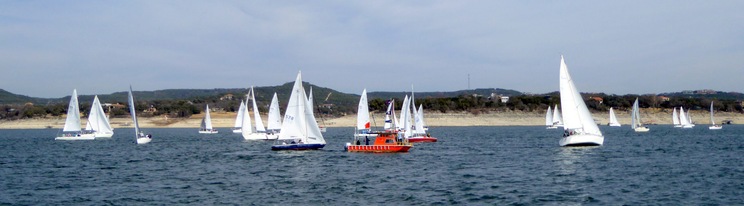
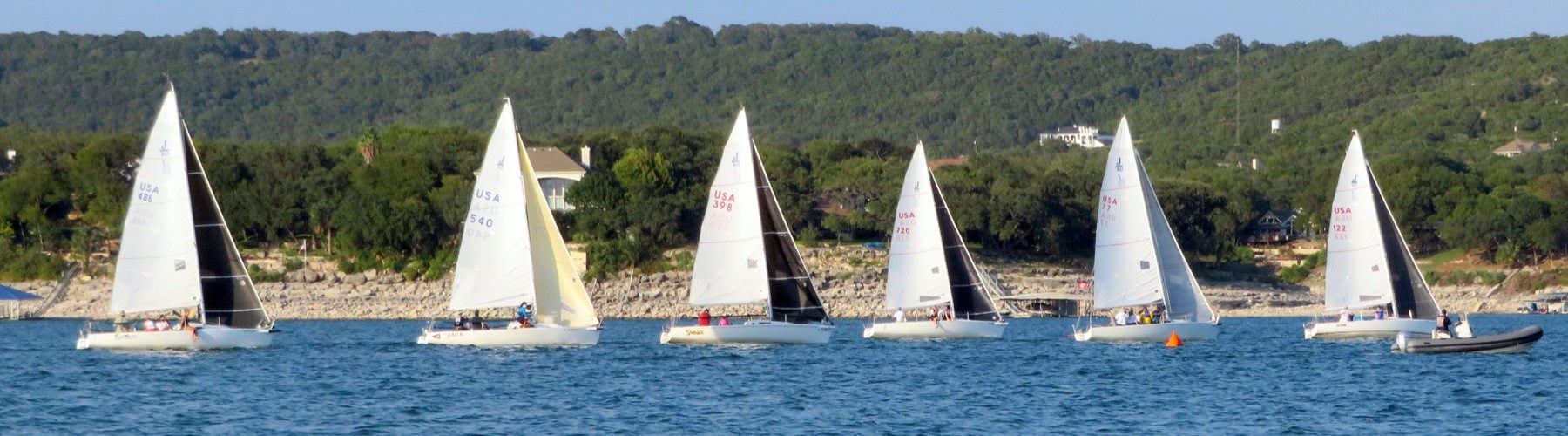
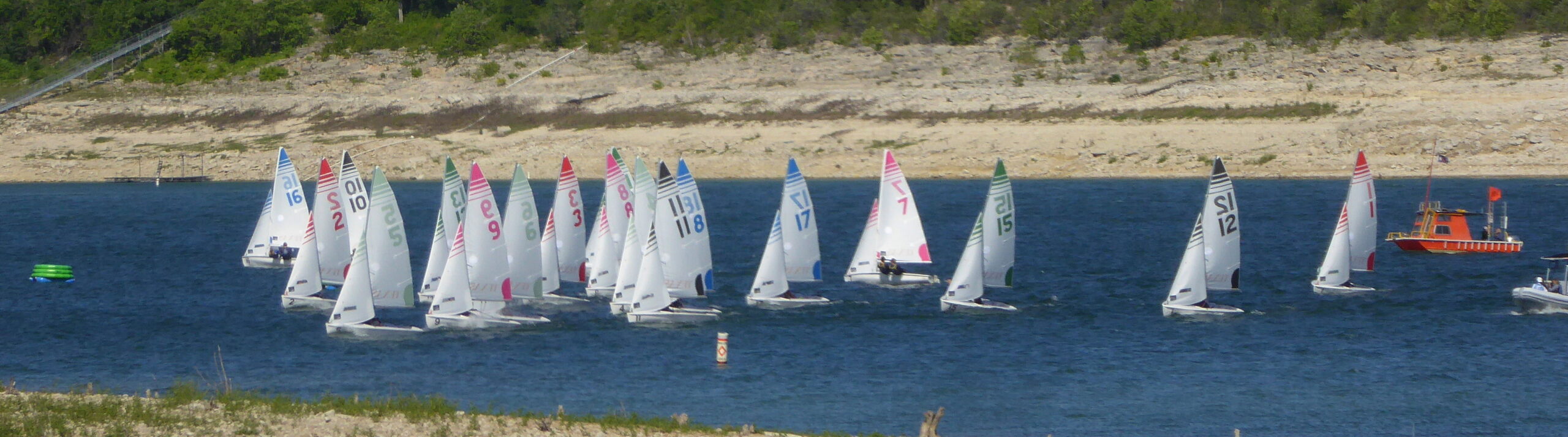
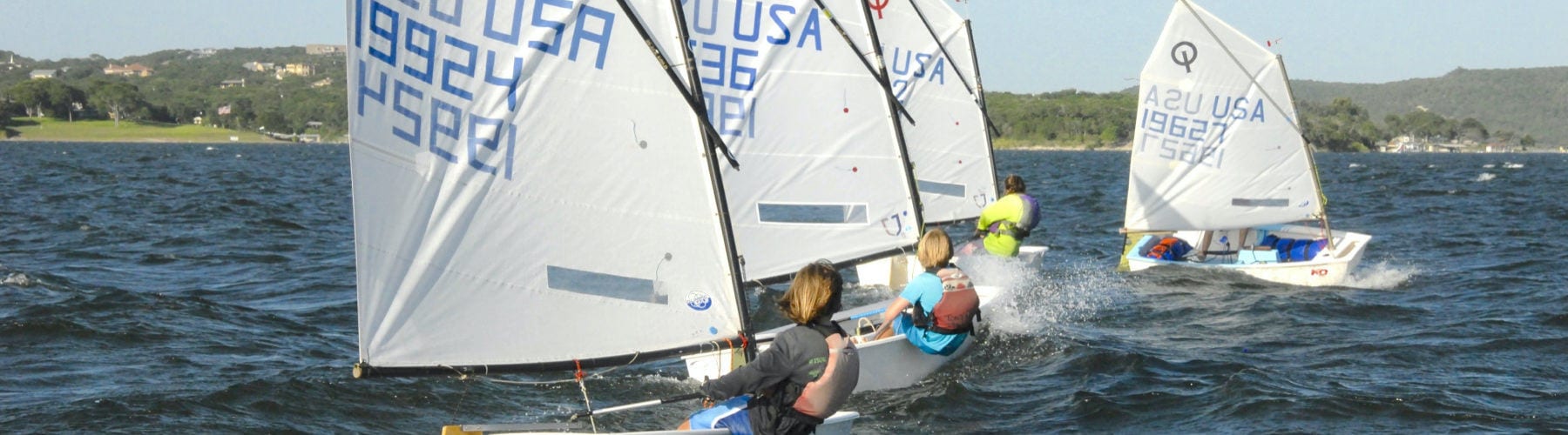
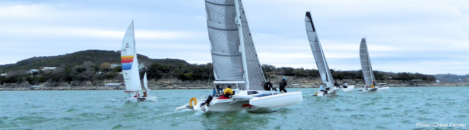
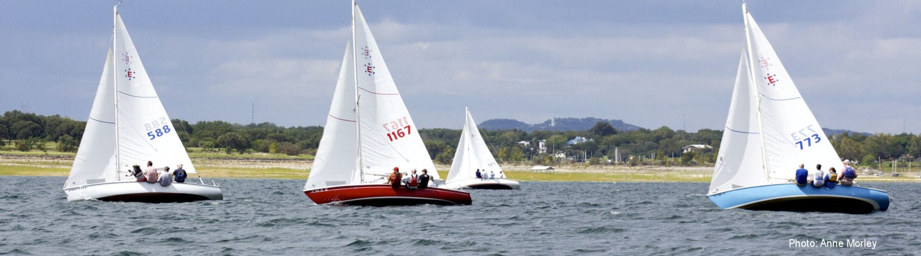
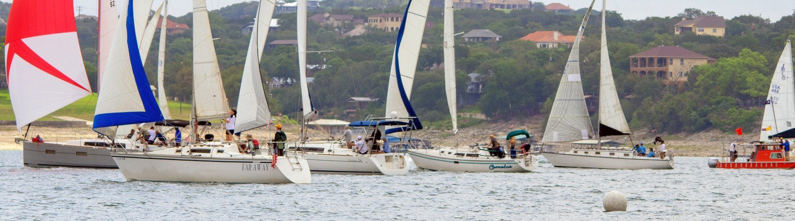
On the Water
The Austin Yacht Club waterfront is buzzing with activity all year long.
Whether you’re interested in sailing in the next Friday night Beer Can race, racing your own sailboat in a series race, racing your Sunfish or Laser in a Wednesday evening race, crewing on a sailboat in an annual regatta, or having your child participate in our popular Junior Sailing Program, or just cruising beautiful Lake Travis, there’s something for everyone at AYC.
Grab your PFD, set your sails, and we’ll see you on the water!
For Local Lake Travis Main Basin Area Weather You Can Use;
AYC Weather on the Point – Live
UT Lake Travis Test Station Weather Data – Live
Always check additional weather sources before heading out.